Add user data to the map layer
You can add user-supplied locational information as a map layer in Verisk Catalog Viewer.You can also use this layer as a spatial filter for searching events.
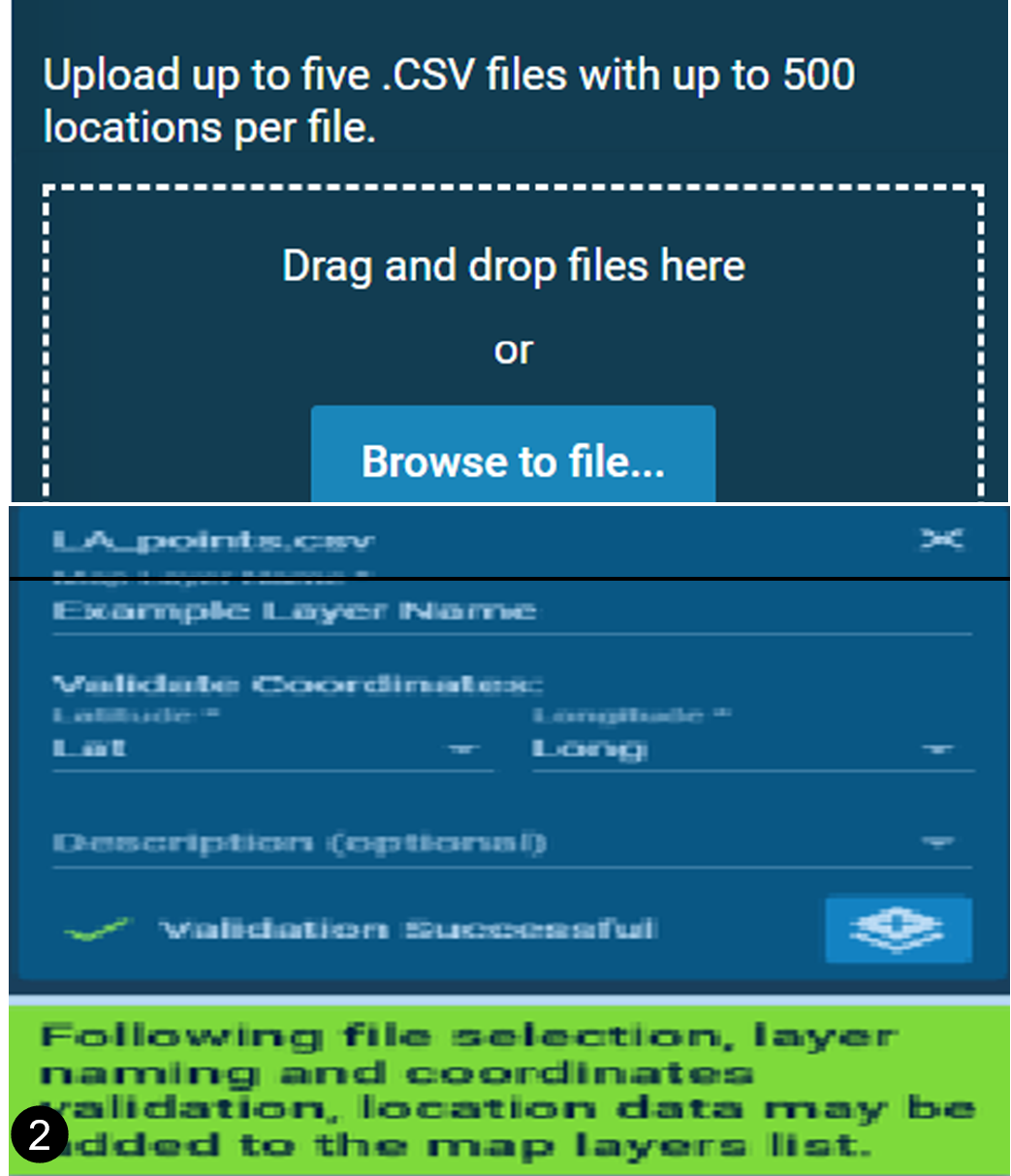
You can upload up to five files, with each file containing details of up to 500 locations.
Procedure
-
Click on the add symbol next to ADD GEOSPATIAL DATA.
 ADD RESOURCE DATA window opens.
 -
Click on the Upload Location Data.
Browse to file... window opens.
-
Click on Browse to file... to upload your locational
files in CSV format with longitude and latitude inputs in two separate columns.

- Alternatively, you could also drag and drop your locational files in the space provided.
- Input a name for the layer in the newly opened dialog box
- Validate the coordinate information by selecting the latitude and longitude columns from the respective drop-downs.
-
Click on the
 icon to add the data to map layers.
Results
Your locational data gets added as a map layer.
Next Steps
You can view further details about this layer in the Map Layer
Details tool ![]() .
.
