Add Verisk Respond Data to the map layers
Add Respond Data to Verisk and overlay this data on the map.
Respond data are the licensed real-time weather feeds
to improve your weather risk. You can view the wind speed
assessments on the Verisk Catalog Viewer map and also use this as a spatial filter for searching events of your
interest.
Procedure
-
Click on the add symbol next to TROPICAL CYCLONE

-
Click on Respond™
Add Resource Data window opens enabling you to Select Verisk Resource based on the data you want to explore.
-
From the Select Verisk Resource drop-down list, select
the Respond™ layer.
Respond Layer for different year get displayed.Note: As Respond is a licensed product, the layers for different years would only be visible to licensed users. In case of unauthorized access to the Respond layers, the system will throw an error message and redirect you to the system administrator for licensing information.
-
Locate the Hurricane event of your interest and click on the
 icon.
Display of Max Gust and Max Wind icons to be added to the map layers.
 -
Click on the Add to map
 to add either Max Gust or Max
Wind or both the to map layers.
Results
The Respond layer gets added to the map.
Next Steps
 to get back to the main search
window.
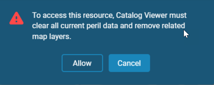
Note: Note that whenever you navigate from one peril search to
another, you will receive a warning message informing you that all of your current peril
data and related map layers will be cleared. 

