Add Verisk U.S Hurricane Landfall Segment data to the map layer
You can add Verisk proprietary US Hurricane Landfall Segment Data to Catalog Viewer and overlay this data on the map. You can also use this layer as a spatial filter for searching events.
Procedure
-
Click on the add symbol next to TROPICAL CYCLONE

-
Click on U.S. Landfall Segment
Add Resource Data window opens enabling you to Select Verisk Resource based on the data you want to explore.
- From the Select Verisk Resource drop-down list, select U.S. Landfall Segment.
-
Locate the US Hurricane Landfall Segment layer to add,
and then click on the Add to map
 .
.
Results
The U.S. Hurricane Landfall Segment data gets added to the map.
Next Steps
You can view further details about this layer in the
Map Layer Details tool ![]()
Click on Close to get back to the main search
window.
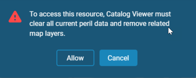
Note: Note that whenever you navigate from one peril search to
another, you will receive a warning message informing you that all of your current peril
data and related map layers will be cleared. 

